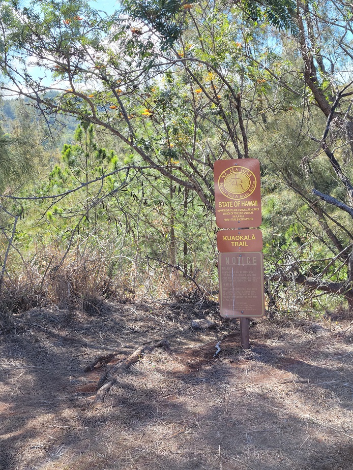
Kuaokala Trail Division of Forestry and Wildlife
|
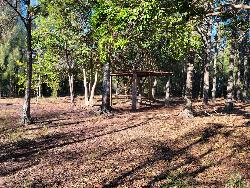
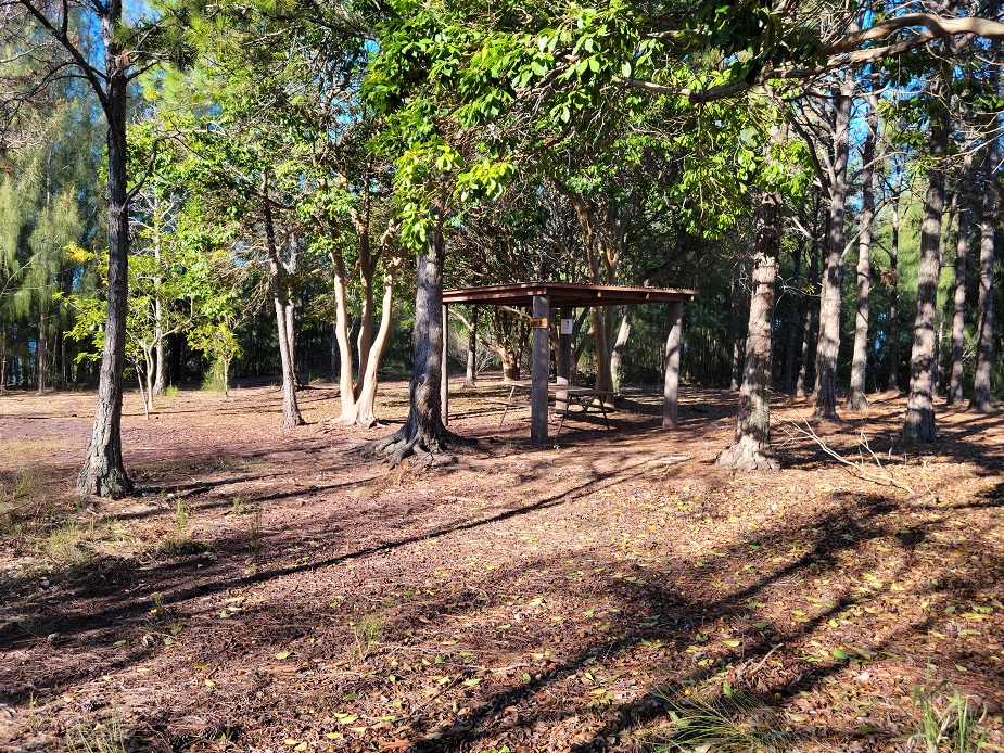
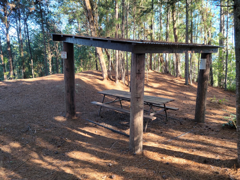
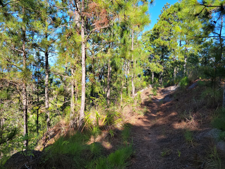
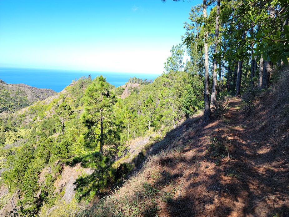
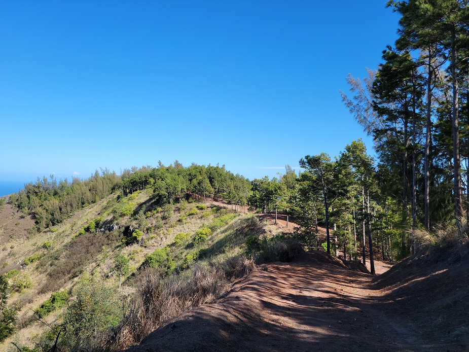
DescriptionKuaoakala Forest Reserve. The trail contours the left side of a ridge, leads into a saddle, and then continues by traversing the ridge. The route proceeds along the Makua Rim. The trail then goes down along a row of lemon gum eucalyptus trees and up again until it gets to a dirt road intersection. The right intersection leads to Mokuleia Forest Reserve. The left intersection takes you along a dirt road, down a gulch, up the other side and goes down along a ridge. Keep taking the left route at any intersection that you encounter. It will finally take you down into Manini Gulch, and becomes paved on the final climb back up to where you will return to the large dirt parking area. A permit and four-wheel drive is needed to access this trail via the Kaena Point Satellite Tracking Station Road.This trail traverses a public hunting area - please use caution when hiking. Wear bright colored clothing and be aware that you may encounter hunters who may be hunting off trail - stay on the trail. Campsites not designated. Camping is allowed anywhere within the trail corridor (10 feet from center line), but camping at the trail shelters is preferred. There is no vehicular access to the shelters. No overnight parking at or around the Air Force Facility. Overnight parking for the Kuaokala Trail is at the East Trail head off of Kuaokala Road. Occassionally, the Air Force closes vehicular access through the Kaena Point Satellite Tracking Station at Yokohama for security reasons. These closures may be unannounced. It is recommended that you call the KPSTS land line is (808)697-4311 to check on potential closures. Know before you go! All Forest Reserves will be closed during Tropical Storm and Hurricane Warnings. Keep informed on weather conditions and forecasts. The Kuaokala Road will become extremely slippery and muddy during rain events and large mud puddles will form. These conditions make the road impassable at times. Watch the weather before going and during your trip. Either cancel your trip, turn around or leave immediately should the weather dictate. Neither the US Air Force nor DLNR has the equipment, training or staff for vehicle recovery services should you get stuck. You will need to either contact an offroad towing service or get assistance elsewhere. NO GROUND FIRES. Camp fires must be in a container such as a hibachi or 50 gallon drum. Almost all wildfires in our Forest Reserves are caused by campfires. Make sure you put it our before you hike out! See the brochure, Hiking Safely in Hawaii No changes will be accepted to an existing permit less than seven (7) days prior to the check-in date. Permits are not transferable. No refunds will be given if requested within 15 days of your first scheduled camping day - all payments will be forfeited. Permit must be printed, signed and in your possession while camping. LocationDrive west on H1 towards Waianae and along Farrington Highway until you reach Keawaula/Yokohama Bay in Waianae. Turn right and check in with your permit at the security guard station. Proceed up the road until you get to the intersection with the second guard shack on the left. Turn right at the stop sign and proceed past the Kaena Point Tracking Station. Once past the tracking station, the road curves to the left and you will pass another intersection on the right. Adjacent to the next intersection is a large dirt parking area. Turn right down the paved road before the dirt parking area. Follow this road: Kuaokala Mauka Road until you get to the Overnight Parking Area. See link for map. Special Conditions
This trail traverses a public hunting area - please use caution when hiking. Wear bright colored clothing and be aware that you may encounter hunters who may be hunting off trail - stay on the trail. Campsites not designated. Camping is allowed anywhere within the trail corridor (10 feet from center line), but camping at the trail shelters is preferred. Public access through the Yokohama Guard shack is from 6:00 AM to 6:00 PM. 4WD access only. Everyone in the vehicle must be listed on the permit. Only street legal vehicles are allowed; registration, safety check and insurance must be current. Permits must be printed out and on hand at all times. No Parking on Air Force Installation over night. All paved roads and areas immediately adjacent to paved roads are considered a part of the Air Force Installation. No water is available. Check-out from campsites is by 12:00pm. Check-in to campsite is any time after 2:00pm noon.
Hazards
Prohibited
Activities
Amenities
Facilities
Reservation |